Physical maps : Monterey Submarine Canyon
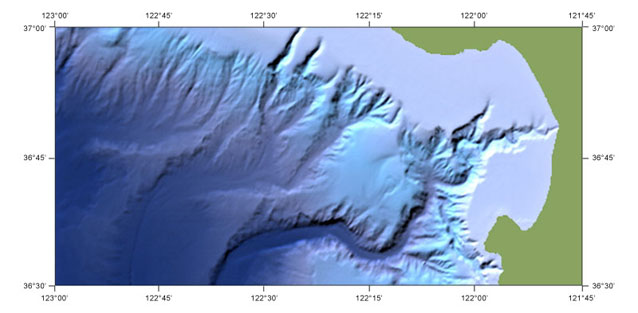
This seafloor map, produced for BBC Television (Horizon) uses detailed local bathymetry with a grid spacing of 250 metres, available for the US exclusive economic zone and some parts of the deep ocean, such as mid-ocean ridges. A latitude-longitude graticule has been applied around the edge of the mapped area.
Source data: NOAA/NOS EEZ Bathymetry.