Map projections : geographical
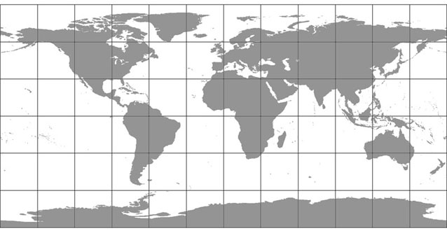
Centred on the Greenwich Meridian
The geographical coordinate system (also known as a Simple Cylindrical or Plate Carree projection) is a grid with equal spacing between lines of latitude and longitude. This increasingly distorts east-west distances toward the poles, but it is suitable for wrapping a global map onto a sphere in 3D graphics software, and as a source for constructing other projections in GIS software.