Maps in Minutes
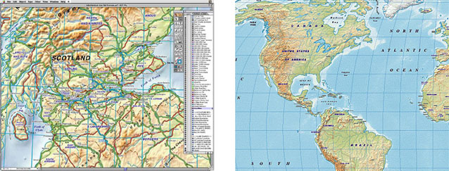
Planetary Visions' Digital Terrain maps are available as part of a comprehensive vector mapping package compatible with Adobe Illustrator and Freehand. Designed for use by illustrators and graphic designers, the Maps In Minutes™ series provides vector mapping data ready-to-use in a desktop publishing environment. Hill-shaded raster background layers are available in a variety of styles, overlaid with fully-editable coastlines, rivers, boundaries, labels, graticules and transport layers. Maps in Minutes™ products include terrain backgrounds up to a scale of 1:750,000 for the British Isles, 1:4,000,000 for Europe, and 1:10,000,000 for the World.
Maps in Minutes™ is published by
RH Publications, with background image layers licensed from Planetary Visions.