Great World Atlas
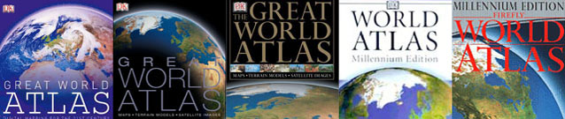
Dorling Kindersley call this "the jewel in the crown" of their World Atlas series. The Great World Atlas combines topographic and political mapping with the actual appearence of the Earth's surface as seen from space, thanks to Planetary Visions' cloud-free
Satellite Imagemap. Traditional and satellite maps of the same area may be compared on adjacent pages at scales down to 1:3 million.
Selected features in each area are shown at larger scale using high-resolution satellite images with explanatory captions. Night-time imagery shows towns and industrial sites, whilst infrared imagery maps the ocean surface temperature. Terrain data is combined with satellite imagery in 3D globes to provide an overview of each continent highlighting the tectonic structure of the land and seafloor.
The Great World Atlas was jointly developed by Dorling Kindersley and Planetary Visions. 70 Satellite imagemaps, 400 close-up images and 20,000 words of supporting text were prepared by Planetary Visions. A specially-created CD and poster were also provided for the first edition (published as the DK Millennium World Atlas). This book is now in its fourth edition, with 21 updated satellite maps, 134 new close-up images and 11,000 words of text added in 2006.