Geocoding
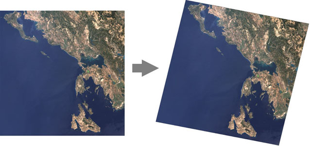
The first step in the construction of an image mosaic is to geometrically correct each image to a common map projection. Due to the oblique angle of a satellite's orbit, raw images are not alligned with north at the top - they must be rotated. There is also a skew component due to the Earth's rotation. In addition to these systematic corrections, ground or map control points and terrain correction are sometimes needed to ensure accuracy. Finally, the parameters of the chosen map projection are applied so that a pixel in the image can be related to map coordinates and pixels in other images.